
Meteorological and hydrological modeling
Modeling aims to represent reality as accurately as possible. For this purpose, the natural processes are described by equations. Thus, not only the current state of the atmosphere or the soil is to be described, but also the future development is to be predicted. The results are weather or flood forecasts.
Even with ever faster mainframe computers with increasing storage capacities, there remains a limit beyond which small-scale processes can no longer be mapped. In addition, measurement data are not available at every location at every time, so the knowledge of the current state of the system remains relatively unprecise. Thus, even severe thunderstorms or floods may not be predicted.
The Swabian MOSES 2023 measurement campaign will collect a variety of meteorological and hydrological measurements that will be available for modeling. These measurements will be used in at least two ways: (1) To validate existing models. The prediction can be compared to the (later) measurement to see how good a prediction was. (2) For assimilation. The additional data can be used by the model to have a better picture of the system state at the start of the model run.
See the table for details on each department's plans.
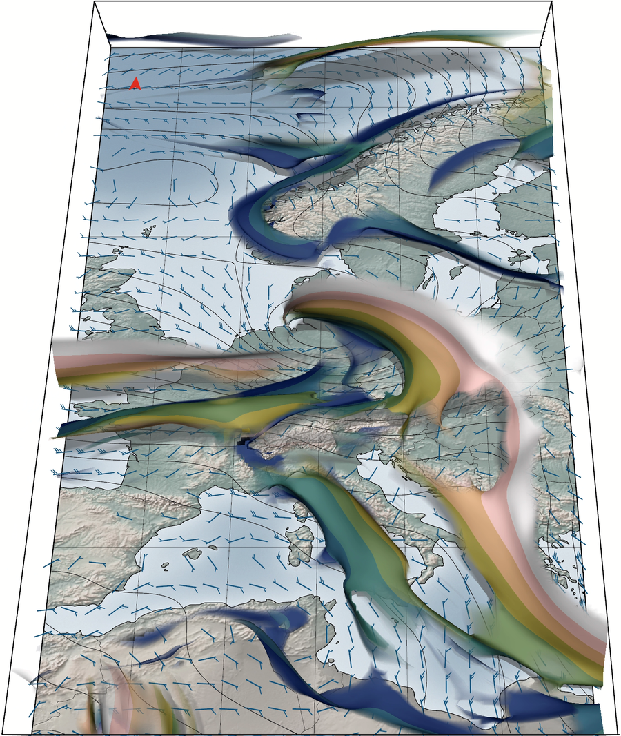
Data assimilation
Data assimilation has the task of describing the state of the atmosphere as best as possible and providing initial states for numerical weather prediction (NWV). These states (reanalyses) are also used for detailed process studies and to study the Earth's regional and global climate. Data assimilation uses a large wealth of direct and indirect measurements of the atmosphere and Earth's surface in combination with computed model states to produce an overall coherent state of the atmosphere and Earth's surface.
Within the Swabian MOSES measurement campaign, many measurement data of the atmosphere are collected. From wind speeds up to high altitudes, temperature profiles of the atmosphere, to high-resolution rain radar. The data from these and other measuring instruments collected during the Swabian MOSES measuring campaign are processed at KIT and sent to the German Weather Service. The German Weather Service uses them to assimilate the data and to determine the influence of the additional observations on the numerical weather forecast in a parallel weather forecast cycle.
Authors: Dr. Annika Oertel, Lutz Beckebanze
Further development of numerical weather prediction in Swabian MOSES.
Despite recent improvements in numerical weather prediction, e.g., through higher grid resolution or improved description of physical processes, accurate prediction of convective precipitation is still a challenge for current numerical weather prediction models. Cloud formation and subsequent precipitation are the result of a chain of complex processes in the atmosphere and are therefore subject to numerous uncertainties. Many aspects affect the predictability of convective precipitation, such as synoptic-scale flow, the presence of mountains, and land surface heterogeneity. In current high-resolution modeling approaches, in which many variants are calculated, each with slightly different initial values, the uncertainties in the physical processes contributing to convection can be accounted for and calculated. However, observed convective precipitation is often outside the range of meteorological conditions expected by the model. To expand the range of predictable synoptic events, additional sources of uncertainty must be considered.
Therefore, in the follow-up to the measurement campaign, we will compare the results of individual measurement days with convective precipitation to a numerical weather prediction model at different levels of resolution. In particular, we will investigate the influence of orography, soil moisture, and various microphysical uncertainties on the predictability of convective precipitation. For this purpose, we will use the ICOsahedral Non-hydrostatic (ICON) model, which is also operationally used by the German Weather Service, ranging from convection-resolving resolutions (~2 km) to large-eddy resolutions (~150 m) for detailed process studies.
Authors: Dr. Christian Barthlott, Lutz Beckebanze